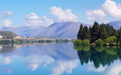
A New Zealand-first assessment has mapped 765 indigenous ecosystems across Waitaha Canterbury to show where native habitats may face the greatest future pressure from climate hazards.
Commissioned by the Canterbury Mayoral Forum, the climate change risk and vulnerability assessment looks at hazards including sea-level rise, erosion, flooding, heat, drought, wildfire and invasive plants. It will help prioritise the protection and restoration of the habitats most at risk.
Mayoral Forum Chair Nigel Bowen said the assessment provides an important evidence base for understanding where climate change could place the greatest pressure on indigenous biodiversity.
“This assessment helps show what climate change could mean for native habitats in different parts of Canterbury, from coastal ecosystems facing sea-level rise to alpine habitats affected by warming temperatures and reduced cold conditions.
“Canterbury’s native species depend on healthy wetlands, rivers, drylands and alpine areas to feed, breed and find shelter. This assessment helps us understand the habitats likely to come under the most pressure and enable informed decisions to be made on how to care for them and the taonga native species that depend on them.”
What the assessment found
Of the 765 ecosystems assessed, 26 were rated very high vulnerability, 76 high, 235 moderate and 427 low. For most, risk is expected to increase through both mid- and late-century timeframes.
Coastal wetlands and limestone coastal cliffs are among the most vulnerable, as several hazards can affect them at once. Kaikōura, the plains north of Christchurch and the Mackenzie country are likely to face a greater concentration of pressures.
By late century, almost all braided river habitats could be affected under a high-emissions scenario. In alpine areas, permanent snow and ice ecosystems are considered very high risk, and Aoraki Mount Cook may lose more than 100 frost days a year under more severe scenarios. Drylands in the Mackenzie Basin, Waitaki, inland Hurunui and coastal Ashburton may face hotter extremes, drought, wildfire risk and invasive plants.
Climate Partnership Working Group Convenor Jesse Burgess said the findings will give councils and partners a stronger basis for future planning.
“This assessment helps us to see where climate hazards could overlap with ecosystems that are already sensitive or have limited ability to adapt. That gives us a stronger evidence base for future biodiversity and adaptation planning.”
Planning for future change
The assessment was carried out by Wildland Consultants Ltd, using regional ecosystem mapping, climate projections for mid- and late-century, 10 climate-related hazards and 17 climate variables. It does not replace local knowledge or site-specific assessment but helps show where further investigation, monitoring, protection or restoration may be most useful.
It marks a key milestone in Action 4 of the Canterbury Climate Partnership Plan, which brings councils, mana whenua and partners together to respond to climate change. The findings will inform biodiversity priorities, restoration investment and adaptation planning, including the development of blue-green networks to connect, protect and restore native habitats.
“This is about understanding where risks are likely to increase, so we can make better decisions for the ecosystem that makes Waitaha unique,” Burgess said.